Detect · classify
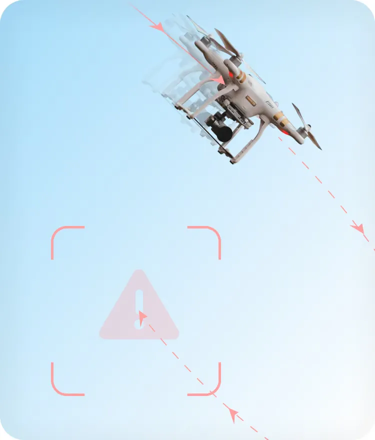
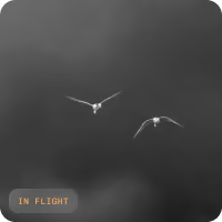
Detection reaches around 3 km with daylight cameras and about 1 km with thermal cameras, depending on the size of the bird and the camera. Species classification below about 1 km, once trained on the site's footage.
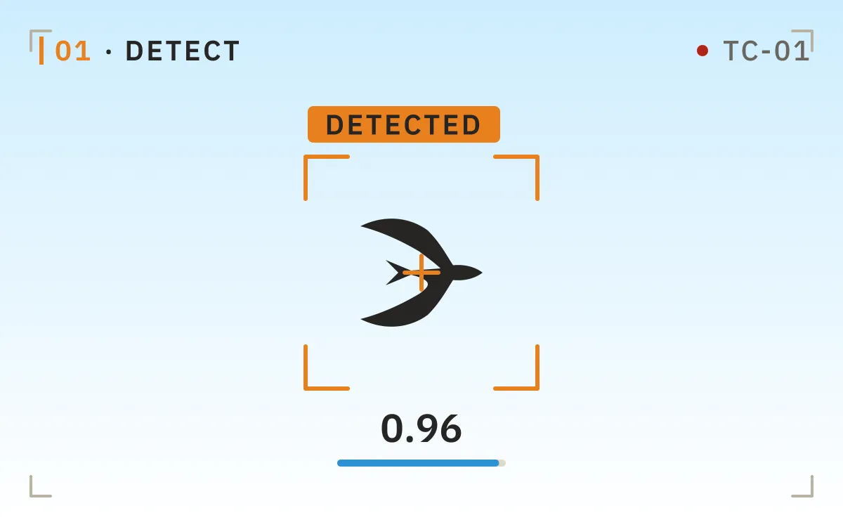
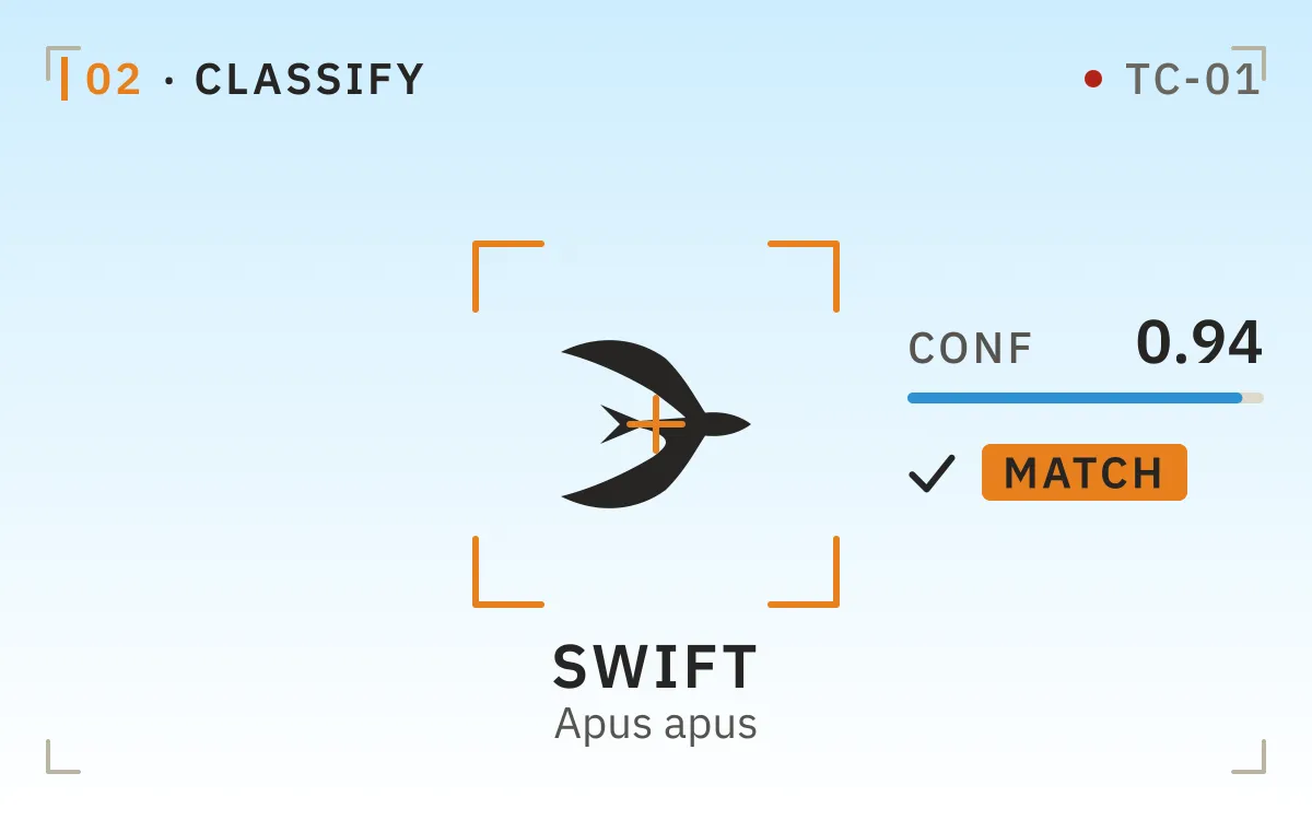
BCMS® VENTUR gives operator teams in regulated environments one live picture of birds, drones, and other objects, in the air and on the ground. Each one is detected, classified, and tracked, your team is alerted or deterrents fire under your rules, and every event is recorded.







Detection triggers classification, classification triggers risk scoring, and risk scoring triggers the response your team has configured. Every event becomes a record, and the record becomes analysis your team can plan against.
Detection reaches around 3 km with daylight cameras and about 1 km with thermal cameras, depending on the size of the bird and the camera. Species classification below about 1 km, once trained on the site's footage.
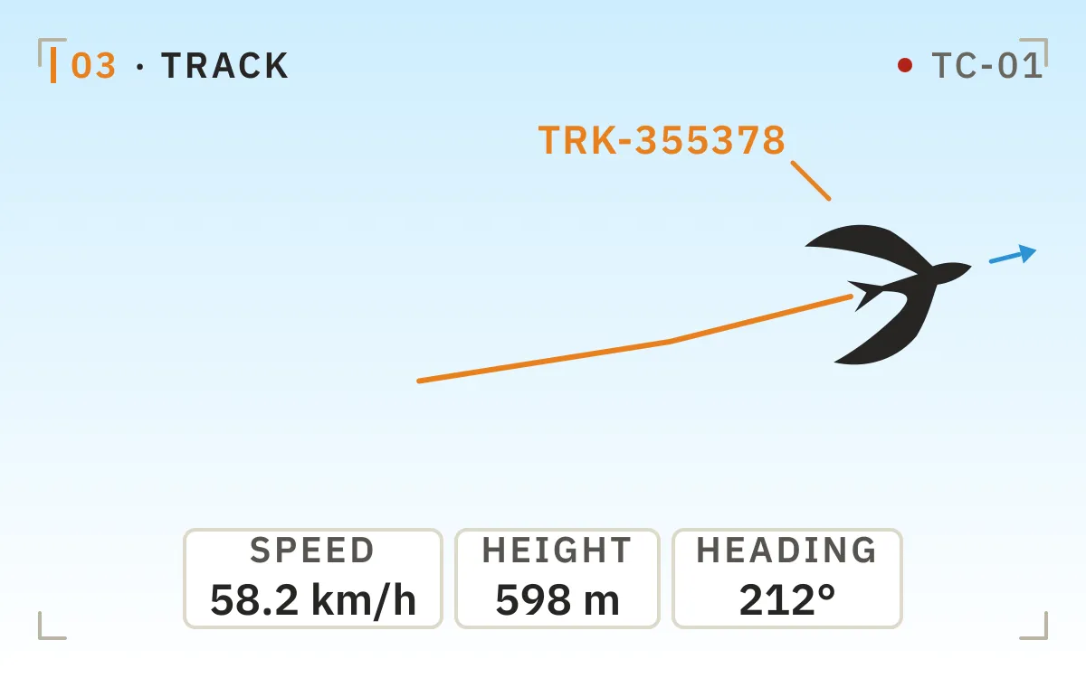
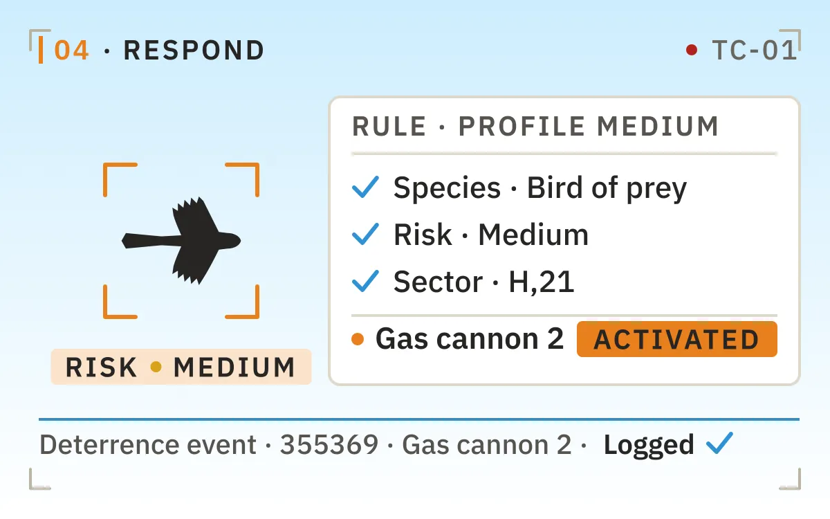
Every object is followed with position, speed, and heading, feeding a live risk index as it moves. Deterrents trigger selectively, under the rules your team sets.
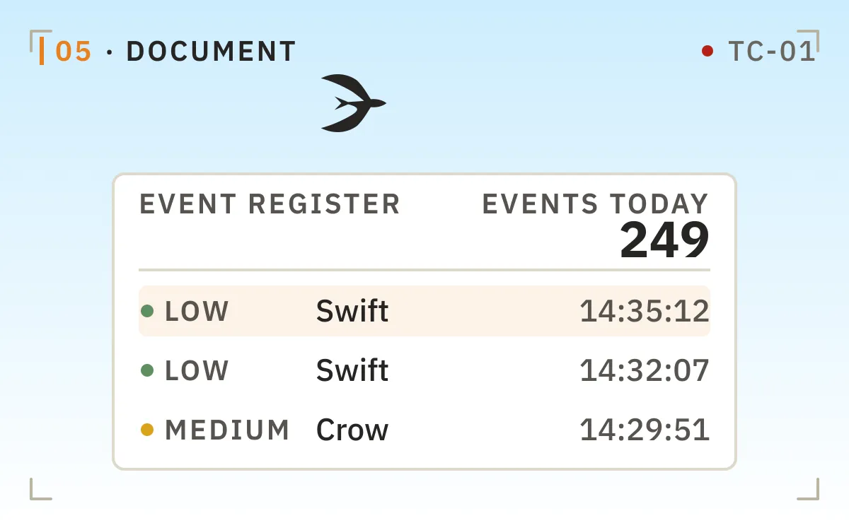
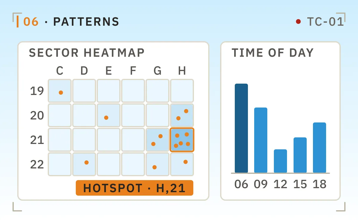
Each event is recorded with video and metadata, building an auditable operational and environmental history. Accumulated detections reveal seasonal and daily patterns, analyzed by THE EDGE COMPANY's biologists into reports your team can plan against rather than react to.
One platform, from raw observation to immediate, verifiable action.
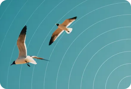
A radar return gives range and bearing, not identity. A blip cannot tell you whether it is a gull, a drone, or clutter.
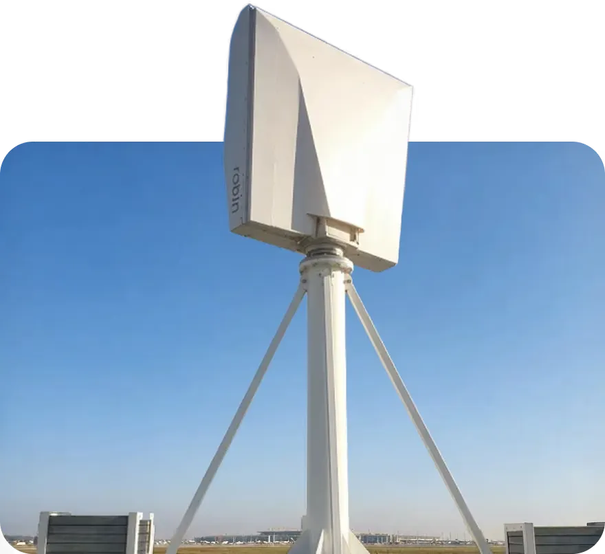
The evidence sits in separate systems, if it exists at all. Some airports only learn of a strike when a carcass is found on the runway.
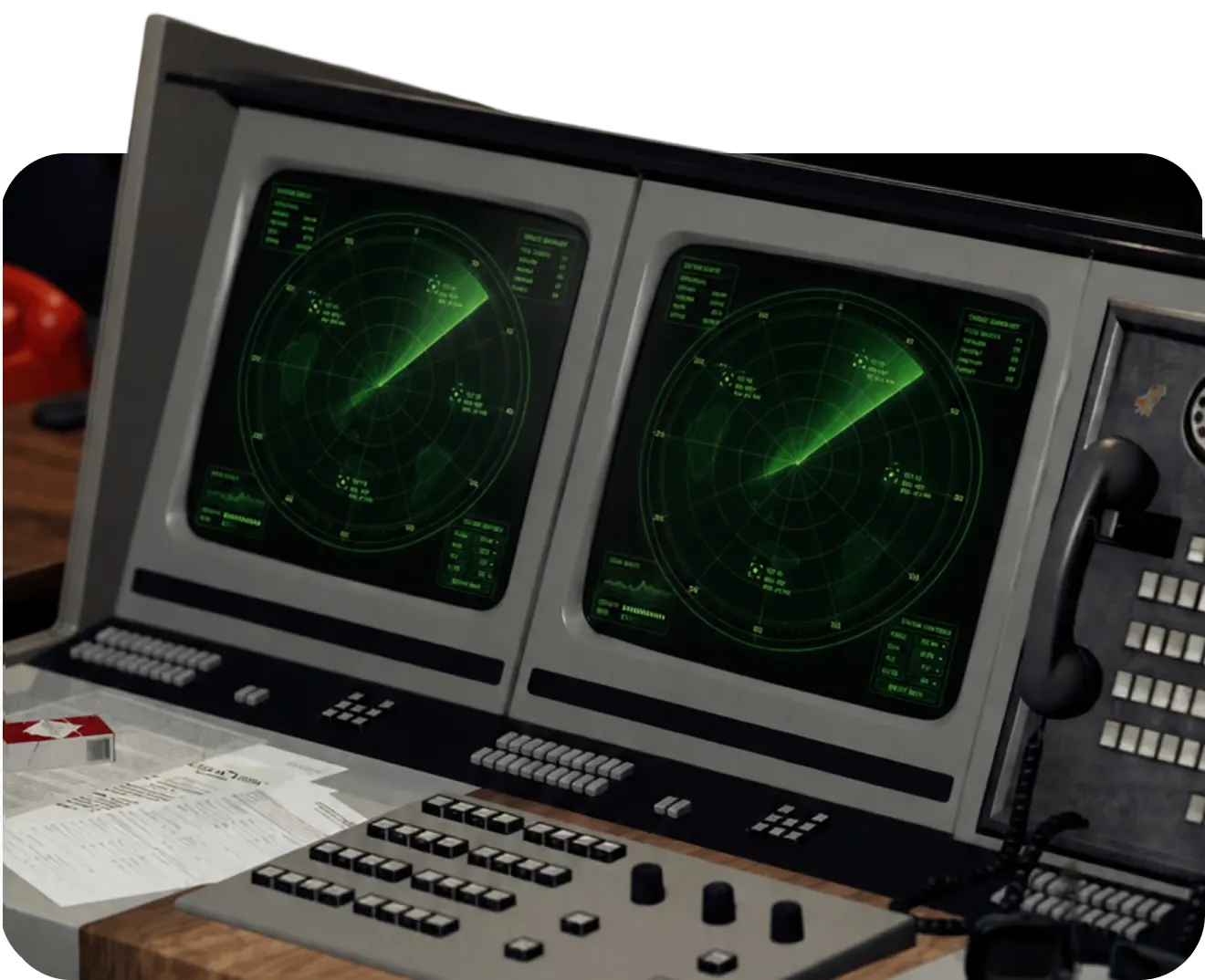
Without trajectory, speed, and species, you cannot judge whether a target is drifting away or converging on active airspace.
One major airport counted 500 staff hours a year just locating and counting a single species.
Reactive patrols and blanket deterrence answer what already happened. Habituation grows, and the pattern behind the risk stays invisible.
BCMS® brings real-time classification, visual evidence, tracking, and automated documentation into one system, so teams understand events as they happen and respond with confidence.
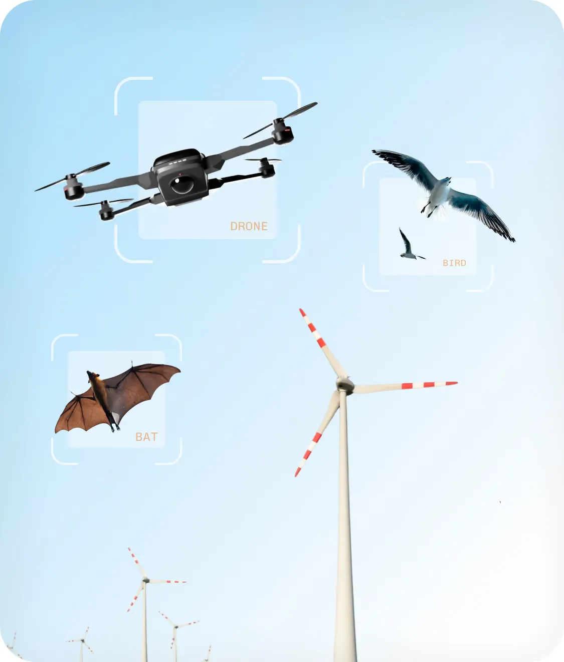
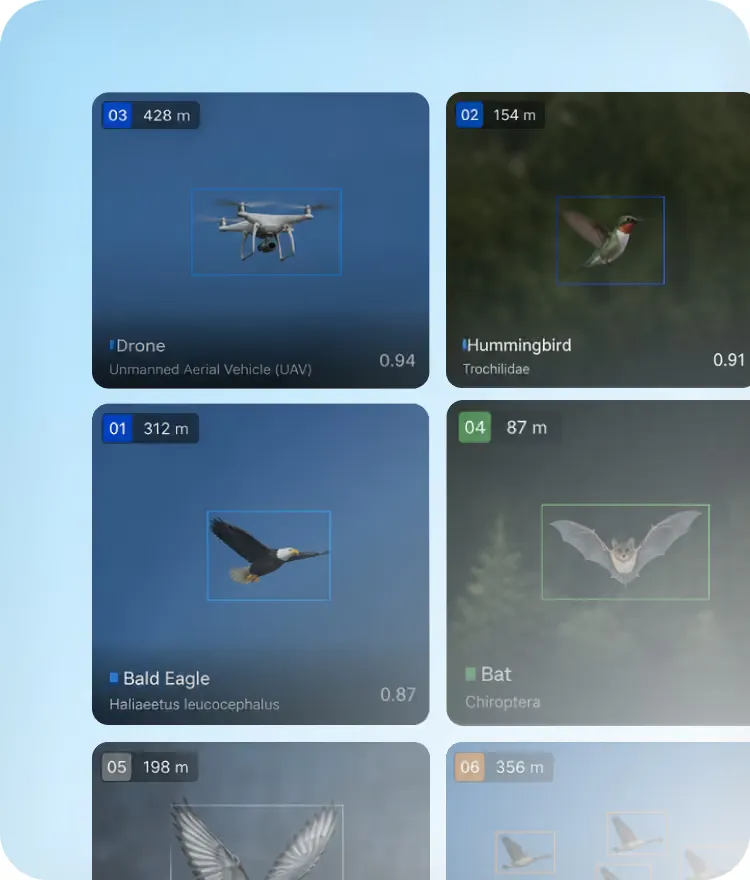
Know what it is before deciding what to do.
Real-time species and family classification with a reliability threshold the operator can trust. Each species responds to a different deterrent, so identifying the bird lets the right countermeasure fire at the right moment.
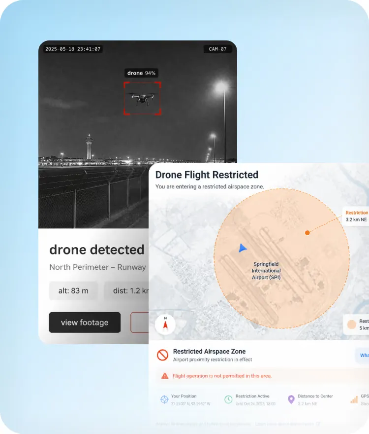
See what happened. Keep the evidence.
Every detection is paired with a video record. No inference, no interpretation, no ambiguity. What you see is what is there.
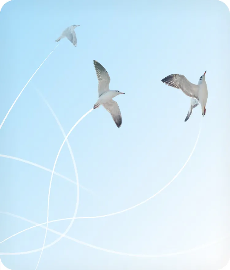
Follow where it moves. Understand the risk.
Position, speed, and heading feed a live risk index, so response is weighted by actual threat rather than alarm volume.
Turn every detection into a usable record.
Structured, auditable event data supports wildlife-hazard reporting and regulatory compliance, down to per-activation deterrence statistics.
See patterns earlier. Act before risk becomes immediate.
BCMS® analyzes live and historical activity to reveal recurring behavior and flag developing risk, helping teams focus resources and intervene sooner.
Around 3 km
Depending on the size of the bird and the camera.
Thermal cameras keep detecting after dark, in flight and at rest.

A listed participant in EASA's rulemaking group on AI trustworthiness (RMT.0742), and a seat since October 2024 in the expert group on safety-related aerodrome equipment (RMT.0161). Innovation Partnership Contract signed in 2025.
One server
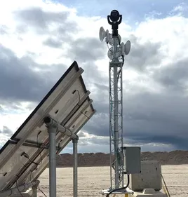
The cameras transmit no radio signal to find a target, unlike a radar.
Below about 1 km, once trained on the site's footage.
Acquires and follows each new detection in real time.
Pan-tilt-zoom cameras under smart scanning, aimed by AI.
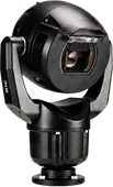
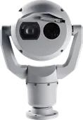
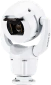
BCMS® drives the deterrents you already own, gas cannons, distress calls, and third-party devices over documented APIs, selectively by species and risk, under the rules your team sets, with every activation logged.


In wind farms, one camera can cover several turbines.
BCMS® is built and run by THE EDGE COMPANY's engineers and biologists, the people who survey your site, train the models on its footage, and author the reports your team files.
Reference calls and site visits are arranged with scope agreed in advance and limited to system validation. Several installations are under NDA, and live remote access to a working site is granted under NDA for the same reason. It is policy, not a lack of trust.
Before any visit, we state which components the reference site runs against what your configuration would ship. You compare what you would actually buy.
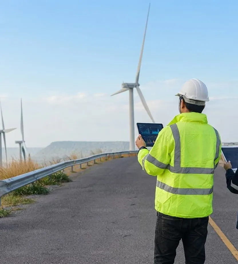
One detection platform, tuned to what each operation protects: aircraft, turbines, wildlife, airspace.
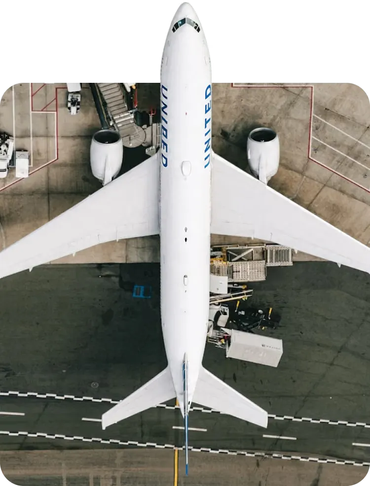
At airports, BCMS® classifies each bird, assesses the risk to traffic, and triggers deterrence under your team's rules, recording every event day and night.
See how it works at airports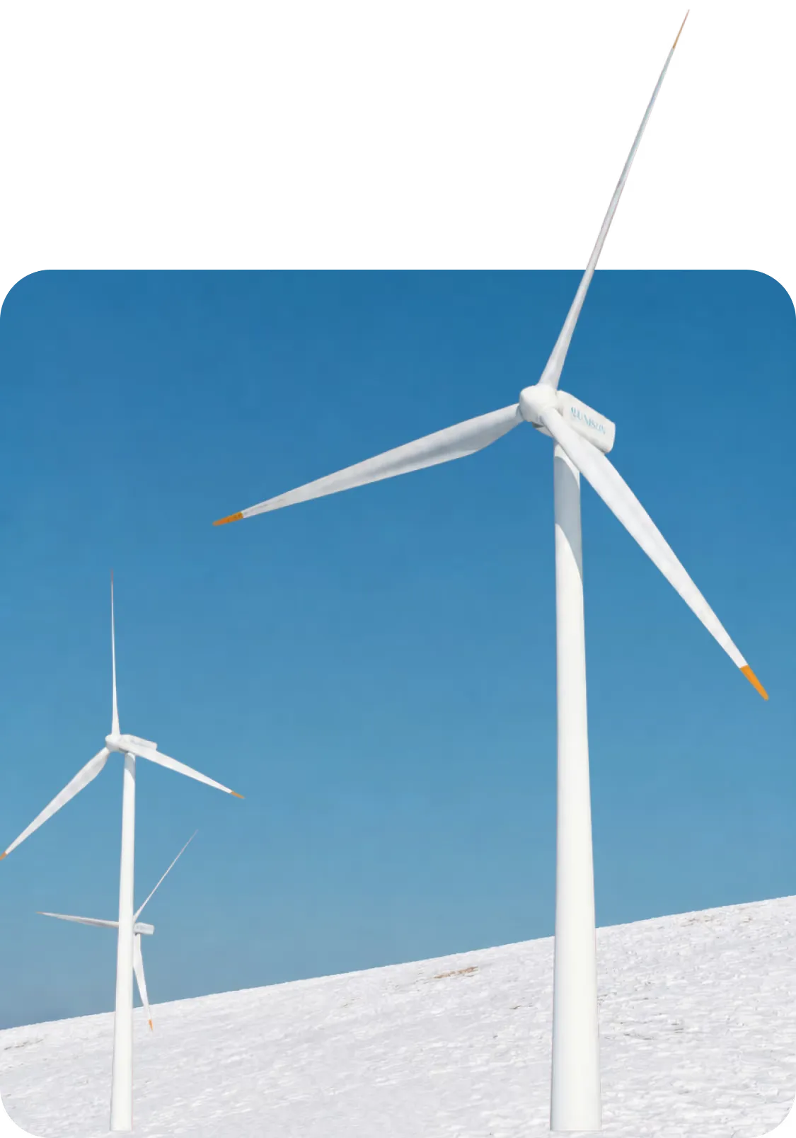
In Italy, continuous bird monitoring is often a condition of a wind farm's authorization. BCMS® provides it day and night, with a video of every event. A stop is decided only on a collision path, the command issued where turbine control is integrated.
See how it works at wind farms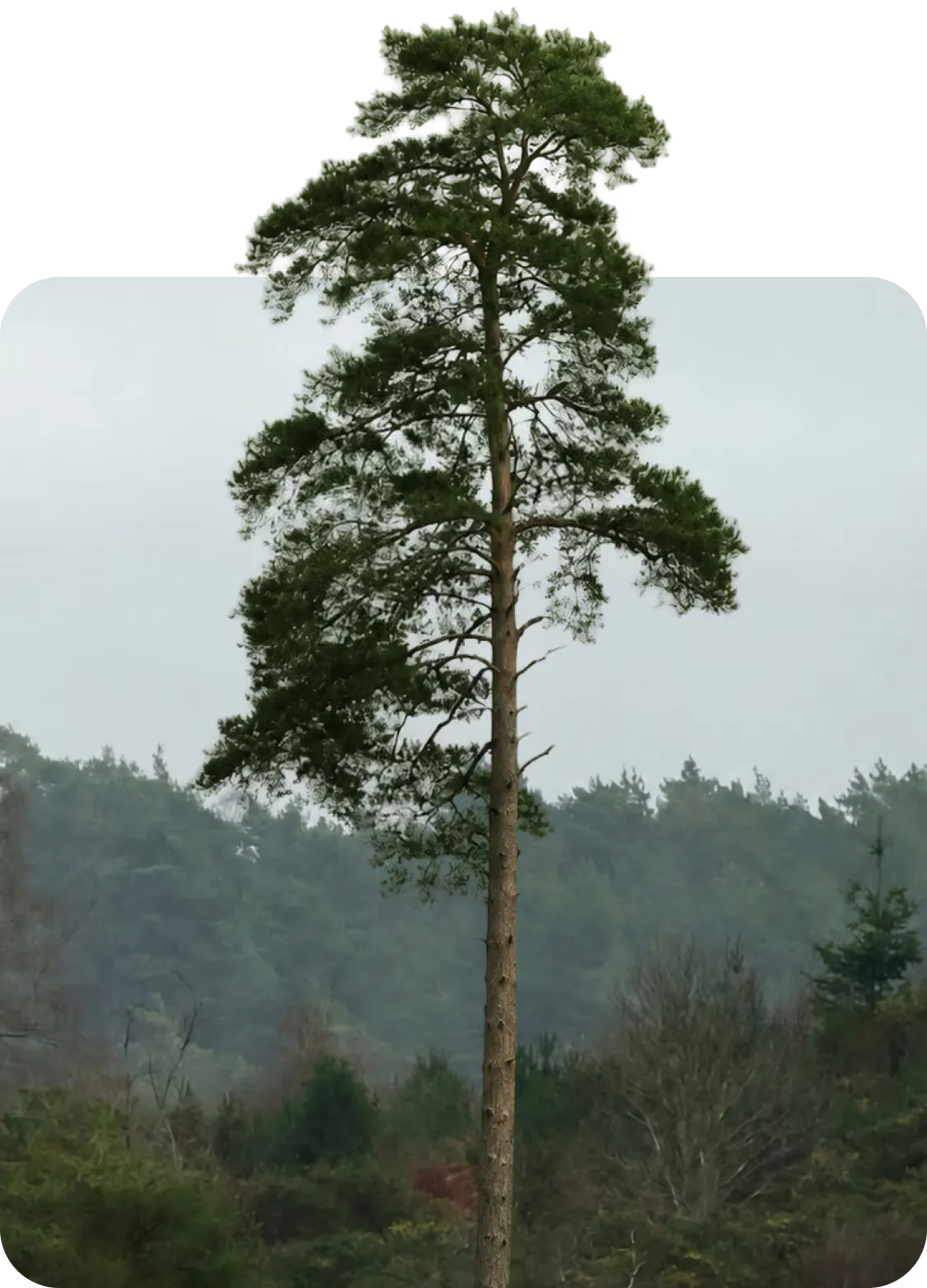
The same detection and documentation, designed for conservation: continuous bird monitoring, seasonal migration tracking and biodiversity records. Non-lethal by design.
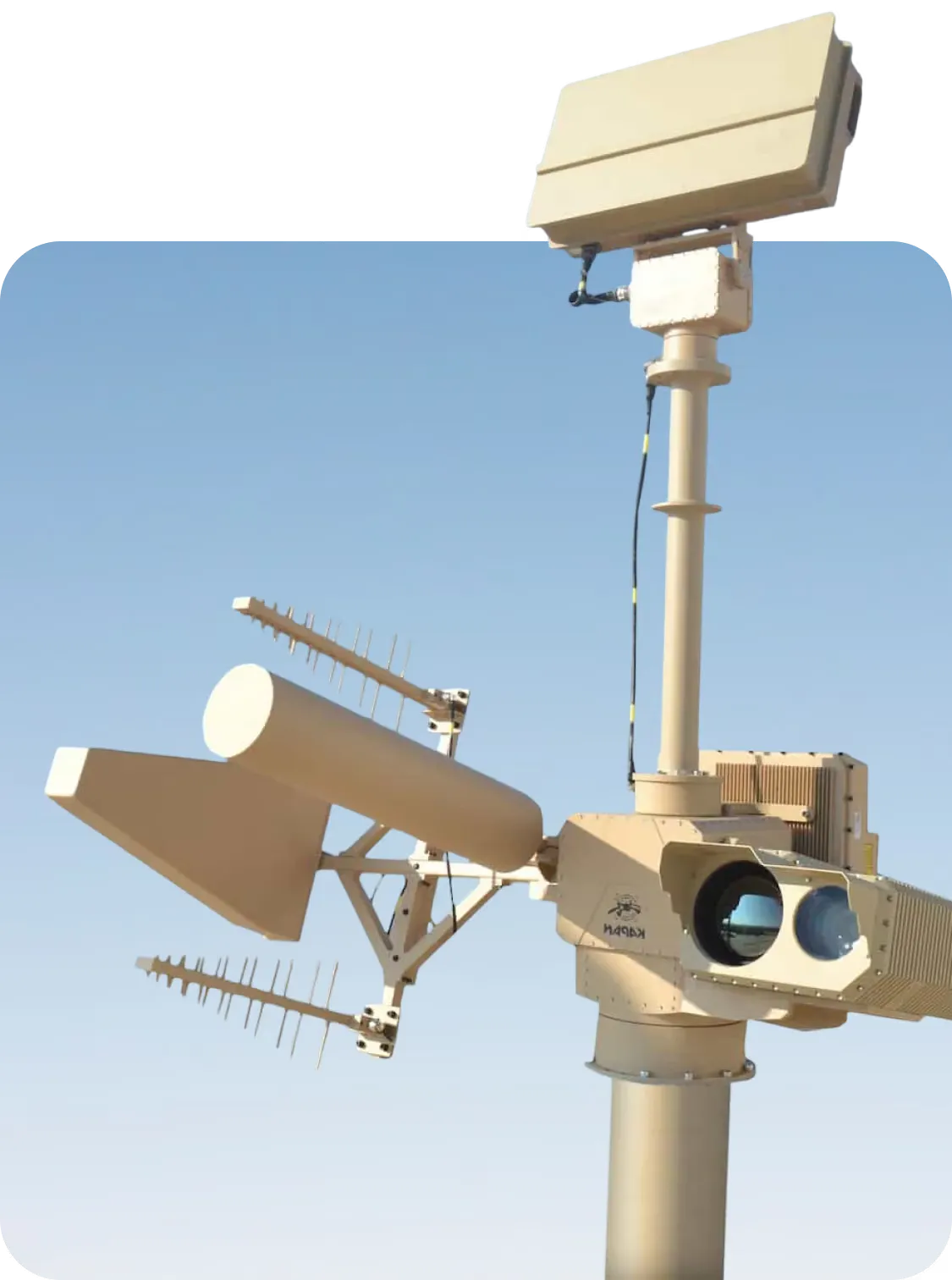
The cameras that watch for birds classify drones with the same pipeline: one system for operational safety and airspace security, detection and classification, never neutralization.
Radar returns give range and bearing without visual confirmation. BCMS® classifies what it sees, detects objects on the ground as well as in the air, and pairs every event with a video record. The cameras transmit no radio signal to find a target, unlike a radar, so there is nothing to coordinate with avionics or ILS.
No. Detection is passive and needs no spectrum license. Camera stations reach the server over fiber or low-power radio links planned at the site survey, and measurements at operating airports demonstrated no interference with airport equipment.
The system starts making detections as soon as it is powered up; fine-tuning and calibration take about two weeks. Implementation typically runs about 90 days from contract, driven mainly by procurement and customs. Installations use above-ground pole mounts on concrete blocks, so no excavation is required.
The system continues to operate with performance that scales with visibility; degraded modes alert the operator and mark coverage gaps. Operationally, conditions that reduce optical performance also ground the birds, so the residual risk profile mirrors the biology.
Yes. One system covers operational safety against bird strikes and physical security against drone incursions, with classification distinguishing the two. BCMS® detects and documents drones; it does not neutralize them.
Yes. BCMS® sits on top of existing dispersal hardware and makes it selective. Gas cannons, distress calls, and third-party devices are driven over documented APIs, activated by species and risk level under the rules your team sets, with every activation logged.
No European certification scheme for this equipment exists yet. THE EDGE COMPANY works with EASA, under an Innovation Partnership Contract signed in 2025, on a concept of operations for BCMS® at aerodromes. Our data protection policy is in force, and GDPR documentation is available on request.
BCMS® needs no specialist radar operators: its output is designed to be read by standard wildlife-control personnel. Professional services cover training, continuous model re-training, and yearly biologist-authored operational reports.
Yes. THE EDGE COMPANY offers a try-and-buy route: the system is evaluated on your site against mutually agreed KPIs before purchase, then converts to acquisition or an operational lease.
Thirty minutes with a technical colleague, not a sales presentation. Bring your site and your hazard picture; we bring the site-survey checklist.