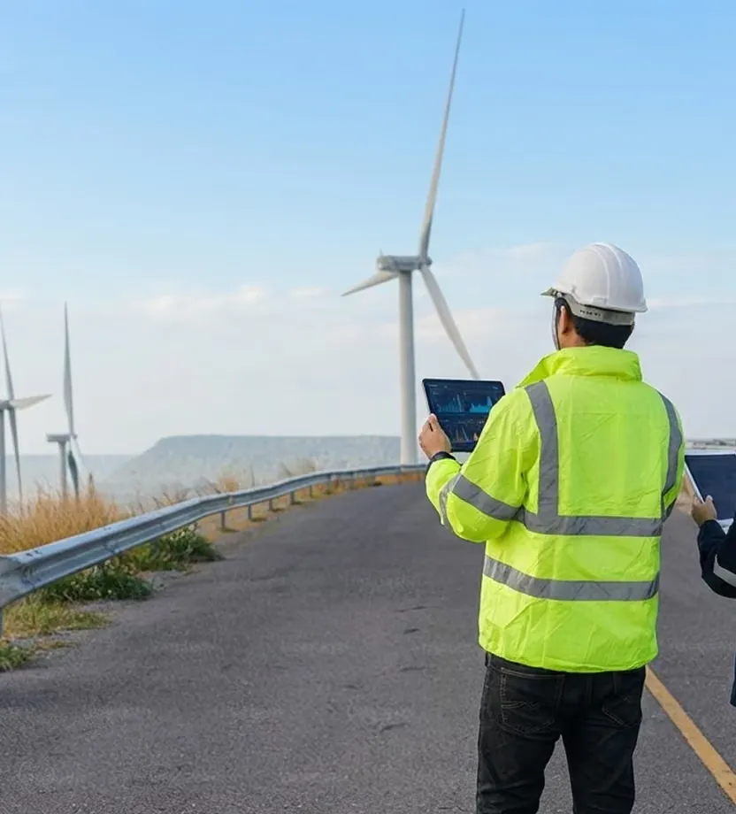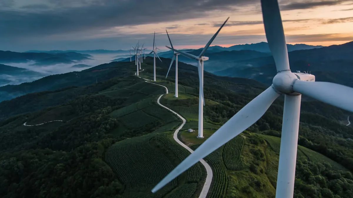
Wind turbines along a ridge road at dusk

BCMS® VENTUR-E · AI optical detection for wind farms

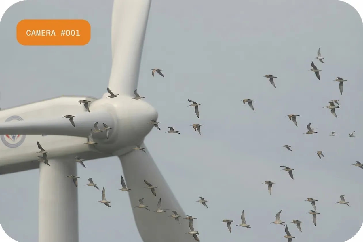
Birds around your turbines:

Monitored continuously. A stop decided only on a collision path.

In Italy, continuous wildlife monitoring is written into wind farm authorization conditions, and the condition often names a device. BCMS® VENTUR-E answers it with species classification below about 1 km once trained on the site's footage, day and night, a video record of every event, and a stop decided on a tracked trajectory, never on presence alone.

  • Masts beside the turbines. Nothing on the machine.
  • 24/7 operation. Thermal for night.
  • Detections from day one. About two weeks to calibrate.
Device fit

If your authorization names a device, or you already run one.

The prescriptions we meet often name a unit on every turbine, a radar, or a painted blade, so the comparison comes first.

  • Nothing on the turbine

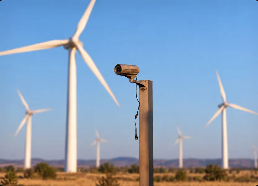
    Cameras stand on lattice masts beside the turbines, so nothing is mounted on the machine and a mast can be re-aimed or relocated.

  • The farm from a few masts

    Coverage is sized to the layout and the terrain at the site survey, from a few masts rather than a unit on every turbine.

  • A species, not a silhouette

    Each bird is named to species or family, with the count, where a device that reports size class alone cannot tell you which bird.

  • A stop decided on trajectory, not on presence

    The stop is decided when a tracked bird's velocity vector carries it into the rotor, never on a schedule, and the command goes to turbine control where integrated.

  • Video for every event

    Each detection is recorded with video and metadata, so the record the authority can audit is the event itself, not a counter.

  • Numbers your ecologists can use

    Species, count, position, height, speed, direction, and risk index per event, exportable as JSON for your ecologists' own analysis.

BCMS® runs alongside the device your authorization names, or replaces it in the compliance file where the authority accepts the equivalence.

Cameras and AI that cover the farm, not the turbine.

Cameras and AI that cover the farm, not the turbine.
Observer surveysPer-turbine deviceBCMS® VENTUR-E
Species identificationpartial: Daylight, sampled dayspartial: Size class onlyyes: Species, below about 1 km
Night coverageNopartial: LimitedYes, thermal cameras
Continuous, all yearNo, sampled daysYesYes
Site-wide coverage from few mastspartial: LimitedNo, one per turbineYes
Stop decided on a tracked trajectory and speciesNo, a manual callpartial: Varies by modelYes, where turbine control is integrated
Video evidence per eventNopartial: LimitedYes
Raw trajectory export and APINopartial: LimitedYes, JSON, REST API

The device column describes the per-turbine class as its vendors specify it; the surveys and carcass searches your monitoring plan requires stay in place.

The gap in your units

Your numbers, not ours.

Three gaps every wind developer recognizes, in their own units.

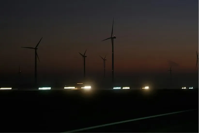
  • A wind farm at night under a clear sky

    The condition you have to evidence.

    The authorization asks for continuous monitoring, and the compliance verification asks for the record. The observer days in your plan stay; they cannot show what crossed the rotor zone on the nights nobody was on site.
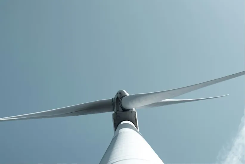
  • A turbine blade seen from the base of the tower

    The equivalence you must prove first.

    Your prescription names a device, a radar, or a painted blade. Until the authority accepts an equivalent, the order cannot take effect and the camera count is not fixed.

  • A stopped turbine among turning ones on a ridge

    The stop with no record behind it.

    Turbines idled for bird risk leave a stop, not an event: which bird, which trajectory, which machine. The event is reconstructed afterwards, by hand, if at all.

Self-assessment

Five questions for your current model

Evidence

One event, end to end.

See the complete event, not just the alert.

Detection log

TC-01
Event
355370
Species
Bird of prey · conf 0.94
Risk index
High · rotor zone
Speed and heading
42 km/h · 072°
Height
84 m
Nearest turbine
WTG-02
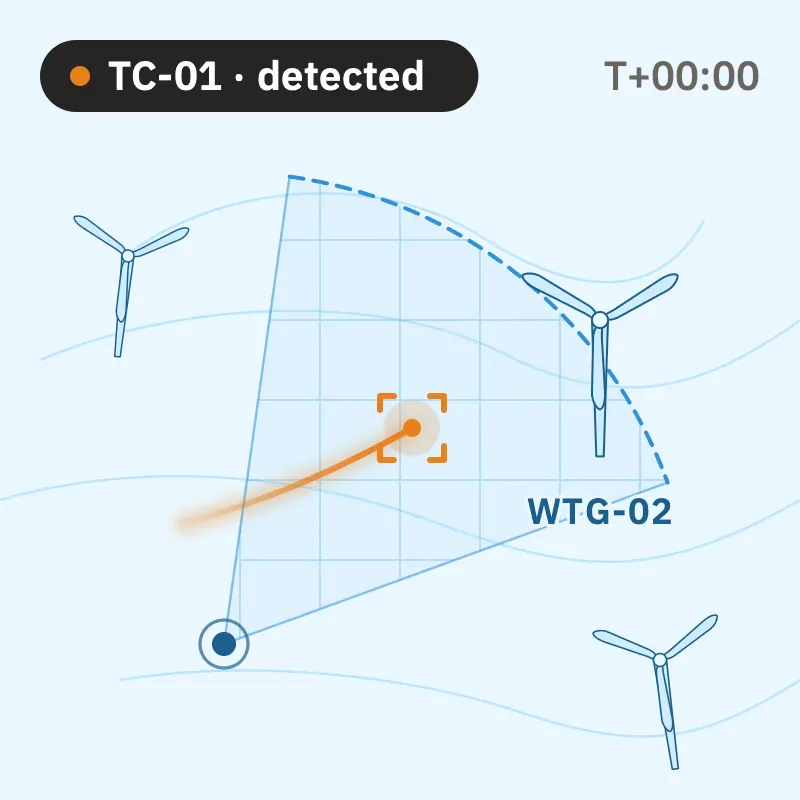
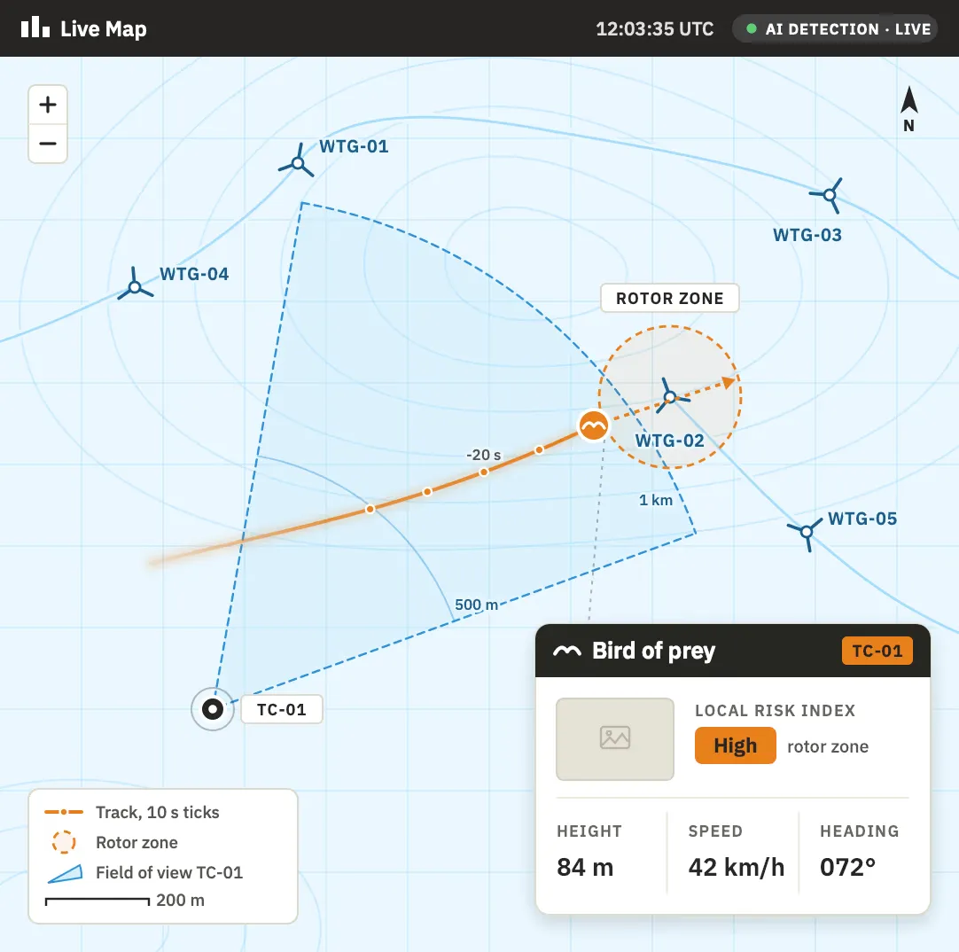
  • Console map with the new track heading for the turbine
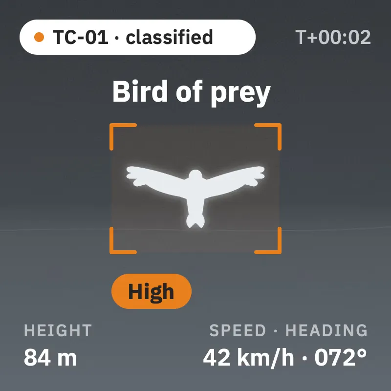
  • Camera frame with the detection box and the species label
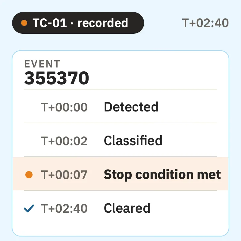
  • The event's register entry with its time stamps

A representative event record, rendered in the console's own fields.

  1. T+00:00

    Detected

    Single object entering the monitored volume, air track opened.

  2. T+00:02

    Classified

    Bird of prey, confidence 0.94. Risk scored against the rotor zone: high.

  3. T+00:06

    Trajectory assessed

    Velocity vector carries the sphere around the bird into the rotor of WTG-02.

  4. T+00:07

    Stop condition met

    Logged with the detection ID; the command goes to turbine control where integrated, elsewhere the alert reaches the people you name.

  5. T+02:40

    Cleared

    Track left the zone. Video and metadata written to the archive.

  • Runs automatically, under the rules your team sets.
  • Command path only where turbine control is integrated

Each record rolls into the portal your team works from and into the annual report authored by biologists each January, nothing reconstructed by hand.

Workflow

From detection to a recorded response

Detection runs automatically; the response follows the rules your team sets.

A camera mast beside a turbine at first light

01

Detect

Passive optical and thermal cameras on masts beside the turbines watch the rotor zone and its approaches, day and night, thermal covering the dark hours.

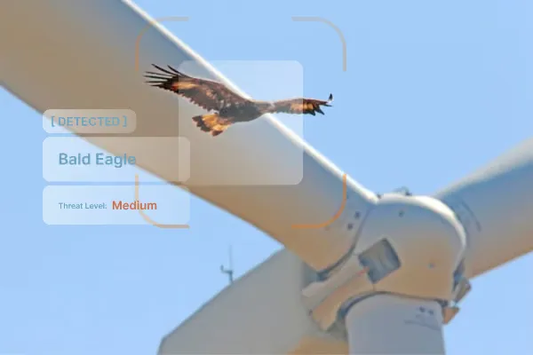
The detection card naming a bird of prey beside the camera view

02

Classify

Species classification below about 1 km, once trained on the site's footage. Which bird it is, and how many, is what the stop decision rests on.

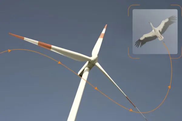
A bird track drawn across the farm layout with its velocity vector

03

Track

Follow position, height, speed, and heading as the bird moves through the site.

The sphere around the tracked bird meeting the rotor zone of a turbine

04

Assess

Test the trajectory against the configured turbine-risk area.

The high-risk event entry in the detection log

05

Respond

Where turbine control is integrated, the stop command goes to the controller; elsewhere the decision raises an alert and is logged as a high-risk event. Deterrents, where installed, activate by species and position.

The detection log with the new event row and its video clip

06

Document

Every event is recorded with video and metadata, building the continuous record the condition asks for and the file your consultant works from.

Dual use

The same cameras watch the whole site.

One sensor set answers more than the bird question, and what else moves on the site, on the ground and in the air, is logged the same way.

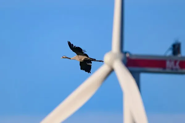
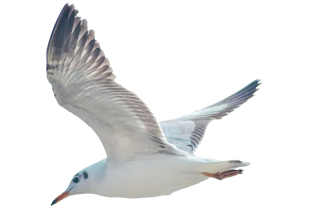
A bird of prey gliding over a ridge with turbines behind it
  • Data your ecologists can work with

    Every tracked trajectory can be exported as JSON through the documented API, point by point, with time, position, height, speed, and heading. Your ecologists analyze the raw record themselves, and the same archive feeds the annual report.

  • Ground wildlife and other traffic

    The cameras also see the ground: mammals on access roads and at rest are detected, and the model can be trained on the animals your site needs to watch. Light aircraft and drones over the site are logged as non-cooperative objects, in the same record as every bird.

Technical evaluation

The specification procurement can tick.

A clearer basis for technical evaluation, starting with what reviewing bodies ask.

Console view of a wind farm map with a camera field of view, a tracked bird and its detection card
Reliability at distance
A mast covers several turbines by scanning; range per species, field of view, and turbines covered are stated per camera after the survey. Distance estimates have been tested with drones.
Risk rating, and the distance that counts
Every track carries a live risk index scored from species, number, position, height, speed, and heading, against sectors you configure around each turbine; there is no generic distance figure.
Turbine control interface, and reaction time
Where turbine control is integrated, the path and its tests are documented in the statement of work; the time from a stop decision to a stopped rotor is stated per site.
What is the likelihood of a miss?
Every detection is recorded with video and its species or category, so true and false positives are auditable event by event; the contractual guarantee is a minimum true-positive rate.
Fog, rain, and high wind
Operation continues, performance scaling with visibility, and degraded modes mark the coverage gaps.
Response and deterrence

A stop that stays selective.

BCMS® decides on species, number, and trajectory together; where turbine control is integrated the stop is commanded and logged with its timestamp, the turbine, and the detection ID, so your SCADA's stop log can be reconciled against it. Threshold changes are agreed with your consultant, because the criteria sit in your compliance file.

Noise limits

Whether an acoustic deterrent fits inside your site's noise limits, and whether it is in your authorization, is checked at the survey before one is proposed.

  • A turbine nacelle and rotor seen from the mast

    Turbine stop through turbine control

    Where integrated, commanded and logged with the detection ID.

  • A loudspeaker unit at the base of a camera mast

    Acoustic deterrents and distress calls

    Species-specific, triggered by the classification, checked against your noise limits.

  • A control cabinet at the mast with the deterrent interface

    Automated laser and third-party devices

    Over documented APIs, activated selectively and logged.

Siting, IT, security

Fitting your wind farm: siting, IT, and security.

  • A lattice camera mast on a concrete base beside a turbine

    Siting

    Masts of three to four meters on concrete bases beside the turbines, never on them: blade vibration defeats long-range detection, and an independent mast keeps the whole rotor volume in view. Positions, wind loading, grounding, and lightning protection are fixed at the site survey, once the foundations are in.

  • A cabinet with the site switch at the base of a mast

    IT

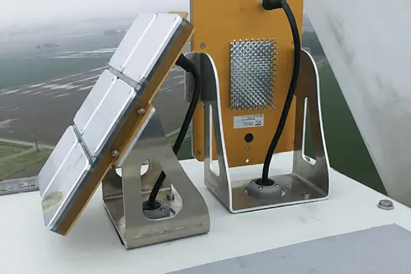
    Masts reach the on-site server over fiber or radio, powered from the farm's auxiliary supply or from solar panels at the mast, with a cabinet and an industrial switch at the connection point. Compute is dedicated to BCMS® on hardware you own or delivered turnkey, and where turbine control is integrated the path is a documented REST API limited to the signals agreed for your site.

  • A network diagram with the site boundary drawn in

    Security

    Hardware provenance is documented, the IP cameras are manufactured in Portugal, certificates run on an internal PKI, and remote support access is authorized by you per session. Where the BCMS® network meets your control network is drawn at the survey with your OT security lead.

Governance

Where BCMS® stands with your authorization.

  • The rule

    In Italy, environmental authorizations for wind farms carry conditions on birds, checked by the ministry or the region at the stage the condition sets. BCMS® fits inside that framework as the operator's chosen monitoring system, with the continuous record the condition asks for and the annual report agreed with you.

  • The standing

    BCMS® has been written into the compliance files of authorized wind farms in Italy by the developers' own consultants, and one of those farms has operated with it since 2025. Two questions reviewing bodies have raised, the file answers: why the cameras stand beside the turbines and not on them, and which published work backs the system.

  • Data protection

    Our data protection policy is in force, and GDPR documentation is available on request; server location stated per deployment.

Operational experience

Who runs it, and what has been measured.

Deployment record, anonymized but specific.

An onshore wind farm in southern Italy

Authorized with BCMS® in its compliance file, operating since 2025.

A second farm of the same owner group

Ordered ahead of construction, the site survey requested before the towers go up.

Authorized farms of an independent wind producer

Under ministry compliance verification, installing about a month before commercial operation.

Before any visit, we state which components the reference site runs against what your configuration would ship, so you compare what you would actually buy.

Speak to our team

Bring your authorization conditions and your layout; we bring the site-survey checklist.

Ways to start

Three ways to start, inside your tender or outside it.

None of them waits for the towers to be up.

No obligation to continue after the trial

  • Try-and-buy, for a farm already operating

    The system runs on your farm against strict KPIs agreed in advance, over a term spanning the seasons in which the species your condition names are active. If they are met, it converts to acquisition or a service contract; a farm still under authorization meets the condition from commissioning instead.

  • Direct procurement, tender-ready

    Purchase plus annual professional services, inside a tender or by direct award where a framework applies. If your procedure needs it, the order takes effect only when the authority clears the file; the tender and compliance pack below drops into a specification.

  • Operational lease

    BCMS® as a service rather than as equipment: hardware, software, maintenance, and support in one recurring fee.

Deployment shape

From the condition to commissioning.

What a deployment involves, timed to your compliance ruling and your commercial operation date.

  1. Weeks 0 to 2

    Site survey, for the file

    Covered on site: turbine geometry, the species your condition names, existing monitoring data, land, power, and connectivity per mast. Output: a statement of work with camera count and coverage per mast, and the signed technical proposal for your consultant's file.

  2. Until the ruling

    The file, then the order

    Where the condition names a device, the equivalence is argued in the compliance file now, through your consultant, and the camera count can follow the ruling. Cameras are ordered early: the manufacturer's lead time is about two months.

  3. About two weeks on site

    Install

    Masts on concrete bases, fiber or radio links, no turbine work, about a month before commercial operation. A local system integrator typically installs, under THE EDGE COMPANY's instructions and quality assurance.

  4. About two weeks

    Calibration and commissioning

    Detections from the day the system is powered up, then fine-tuning on your site's own avifauna. The turbine-control test, where it applies, is scheduled with the turbine manufacturer during commissioning, and operator training follows.

Role-based resources

Three doors for the wind team.

Each pack is sent on request until the files are published here.

FAQ

What wind developers ask first.

Can it stop a turbine?

Where turbine control is integrated, the control signals, stop and restart logic, interfaces, and tests are defined for that deployment, and the stop is commanded and logged with the detection ID. Where it is not, the same decision raises an alert and is logged as a high-risk event.

How many cameras and masts will we need?

The count follows the layout, the terrain, the species in your condition, and whether night coverage is required, and it is fixed at the site survey with a coverage statement per mast. Where your condition names a device, the count can also follow the ministry's or the region's ruling on the file.

Do we need people watching screens?

No. Detection, classification, and the stop decision run unattended. Where turbine control is not integrated, the alert reaches the people you name at the survey, with the event record; output is designed to be read by your site team and your ecologists, not by specialist operators.

What do we get for the authority's file?

The file is yours; what you receive from us is an annual report authored by biologists, delivered by the end of January for the previous calendar year: species, counts by risk class, the turbines most exposed, seasonality, flight heights and headings, and the high-risk events logged. Your team and your consultant work from the portal every day, with every event, its video, and its raw trajectory.

Who maintains it?

THE EDGE COMPANY does, under the professional services contract: parts and labor for replacements are covered, and we hold service agreements with the camera and server manufacturers and keep spare units. After the contract the system keeps functioning and the license stays in force; follow-on support is contracted separately. Where your own team will carry out no maintenance, a full-service form exists: an extended warranty for parts and corrective maintenance, plus a long-term maintenance agreement with spare parts on a price list.

How do we buy this inside a tender, or without one?

Three routes are offered today: try-and-buy against agreed KPIs, direct procurement with a tender-ready pack, or an operational lease. Which applies is your procurement determination; the routes section above has the detail.

On what trigger is a stop decided?

A sphere of configurable size is drawn around each tracked bird, and the stop is decided when the bird's velocity vector carries that sphere into the rotor and the species and number cross the threshold set for your site, with the command going to turbine control where integrated. Not on a schedule, and not on presence alone. Sphere size and thresholds are set per site and stated in the technical proposal.

How does it talk to our turbine controller, and how fast does a rotor stop?

Where turbine control is integrated, BCMS® publishes the stop decision on a documented REST API, limited to the signals agreed for your site and described in the statement of work. A track is validated within about half a second. The time from a stop decision to a stopped rotor depends on the turbine controller, so it is stated per site, not as a generic figure.

Where do the masts stand, and how are they powered and connected?

On lattice masts of three to four meters, terrain permitting, on above-ground concrete bases beside the turbines, with no work on the machine. Each mast reaches the on-site server over fiber, with a shallow conduit trench, or over a radio link. Power comes from the farm's auxiliary supply, where the turbine manufacturer and your electrical contractor agree the connection point, or from solar panels at the mast, and the survey settles which, per mast. A cabinet with an industrial switch sits at the connection point.

What reaches our control network?

Only what the survey draws. Where the BCMS® network meets your control network, and whether a vendor router is permitted near it, is settled with your OT security lead; access runs on an internal PKI, each remote support session is authorized by you, and footage is never published externally. Hardware provenance is documented, and the IP cameras are manufactured in Portugal. A 50 Mbps link covers remote maintenance and updates, or THE EDGE COMPANY installs its own router.

What does the authority verify, and when?

The ministry or the region checks each condition at the stage the condition sets, in practice before the site opens or before the farm enters service. It is the developer who evidences compliance, with the file your consultant builds around our signed technical proposal. BCMS® supplies the continuous record and the annual report that file points to.

Our condition names a specific device. Can BCMS® still be used?

Yes, where the authority accepts the equivalence. Your consultant argues it in the compliance file, with our signed technical proposal and the equivalence annex from the tender pack, and the authority decides case by case. If your procedure needs it, the order can be made conditional on that ruling.

What happens in fog, rain, or high wind?

The system keeps operating, with performance that scales with visibility. In degraded conditions it alerts the operator and marks the coverage gap in the record, so the file shows when monitoring was reduced rather than thinning silently. Mast wind loading is specified for your site at the survey.

Can we run acoustic deterrents under our noise limits?

Only where the survey finds room for them. We check your site's noise limits and your authorization before proposing one. Where an acoustic deterrent is installed, it is triggered by the classification, species-specific, never on a timer, and the deterrence profile is tuned over time on activation-versus-outcome statistics.

What can our ecologists export?

Every point of every track, as JSON through the documented REST API, with time, position, height, speed, heading, species, count, and risk index per event. Nothing passes through a vendor before your ecologists see it, and the annual report draws on the same archive.

Talk to our team

Put your turbine coordinates on the table: thirty minutes with a technical colleague, not a sales presentation.

More about your site